
Prepare for the next flood by checking out new county tips
November 2, 2023 Ojai Valley News A new website with…
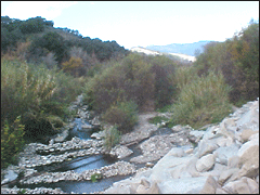
Ventura County Watershed Protection was formed, in part, to provide for the control and conservation of flood and stormwaters, and for the protection and maintenance of watercourses, watersheds, and life and property in the District from damage or destruction from storm flows or flooding. The District was originally established on September 12, 1944 as the “Ventura County Flood Control District” (VCFCD). On January 1, 2003, the name was changed to the Ventura County Watershed Protection District to reflect changes in community values, regulatory requirements, and funding opportunities. The name change also reflected the District’s desire to emphasize integrated watershed management and to solve flood control problems with environmentally sound approaches. The District’s mission is to protect life, property, watercourses, watersheds, and public infrastructure from the dangers and damages associated with flood and stormwaters. Goals of the District include:
Over the years, as predominately agricultural lands transformed into growing communities, the control of floodwaters has become increasingly important. And, as the county has become more urbanized, the regulatory environmental demands have also evolved protecting community values and priorities.
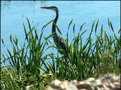
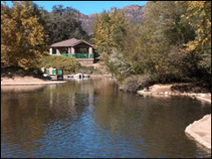
Communities now look to us to protect their homes and businesses, while preserving water quality, safeguarding habitat, and improving watershed performance, including beneficial use like recreation. An outcome of laws, strengthening environmental regulation and changing community values encourages comprehensive planning at a watershed level and involvement of watershed stakeholders. Residents, business owners, and government agencies have all become partners in planning the future of our watersheds.
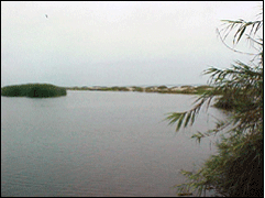
We are especially proud of our efforts to think and act with a watershed-wide perspective with respect to our “Integrated Watershed Protection Plans” for our major watersheds. Within the IWPP framework, we have been able to partner with appropriate federal, state, and local agencies to carry out our mission.
We optimize use of available financial resources and balance output to be most effective and efficient. We also inculcate active community participation to protect our watersheds, now and for the future.
805.654.2040
November 2, 2023 Ojai Valley News A new website with…

Efforts to remove Matilija Dam get $4.3 million to clear…

Eco-tip: Why not dynamite? Matilija Dam project illustrates value of…

February 17, 2023 California Department of Fish and Wildlife At…

December 12, 2022 Ventura County Star Rainfall reaches 8 inches…

By David Goldstein On Saturday, from 9 a.m. to noon,…

Notice REQUEST FOR QUALIFICIATIONS MATILIJA DAM ECOSYSTEM RESTORATION PROJECT ROBLES…

Matt Ehret Promoted to Watershed Protection’s Deputy Director for Design…

“Pathways” highlights the unique pathway that each of us has…


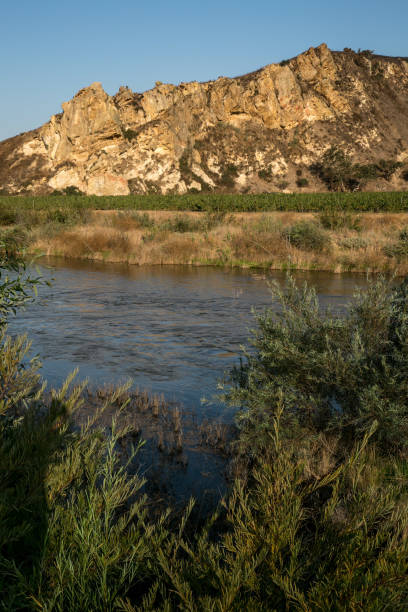
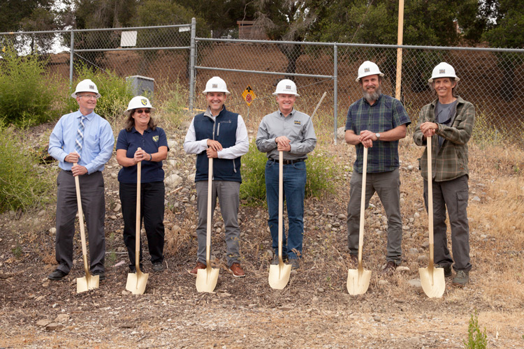
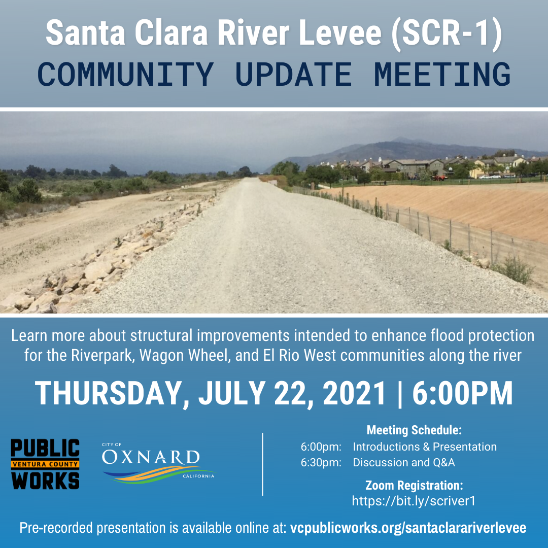
Watershed Protection’s SCR-1 project aims at protecting critical levee systems…
VCPWA commemorated the start of the Santa Ana Boulevard Bridge project…
First Major Component of Matilija Dam Removal Underway with Construction…

Watershed Protection seeks your input for the SANTA CLARA RIVER…
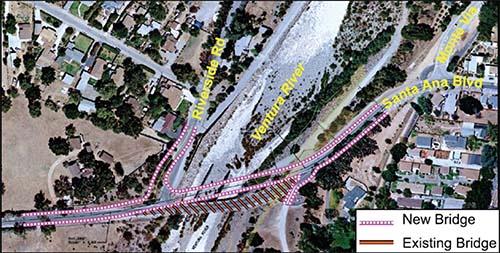
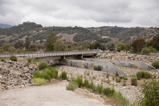
Santa Ana Boulevard Bridge replacement gets closer Details Published: Friday,…
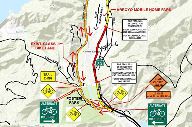
Ventura County Public Works Agency Announces the Reopening of the…


The Thomas Fire of December 2017 devastated our community of…

